

Year: 2022
Collections: Scientific Publications
Topics: Water
Authors: Shadurdyyev G.
Countries: Uzbekistan, Turkmenistan
Source: Central Asian Journal of Water Research
Downloads:
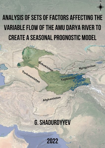
The Amu Darya River is a transboundary river whose flow of the river in high-water years reaches up to 108 km3 and in low-water years up to 47 km3 and these are huge fluctuations in the water flow of the river for Tajikistan, Kyrgyzstan, Uzbekistan, Turkmenistan, and Afghanistan, that share water among themselves. The point to consider is that the downstream countries Turkmenistan and Uzbekistan (and possibly Afghanistan in the future) use a lot of water for irrigation, and therefore these countries are the ones most in need of an accurate forecast of the volume of water for the upcoming season. An accurate forecast of the volume of water on the seasonal scale is necessary for better planning of the structure of crops, and subsequently water use in the irrigation of crops. An acceptable solution to this challenge is the construction of an empirical time series model that will be used to predict the seasonal flows of the Amu Darya River to improve the planning and management of water resources in downstream countries.
This article considers three important discharge time series in the larger Amu Darya Basin. These include the Kerki Gauge on the Amu Darya, Darband Gauge on Vaksh River and Khorog Gauge on Gunt River. Long-term time series from these stations are available for the study of the development and implementation of time-series based models for the prediction of discharge in the basin. At this stage, we attempt to demonstrate a proof-of-concept which can in a second step convince stakeholders to share such type of discharge data operationally for more effective water allocation between sectors and countries. All our work was carried out with the quantitative tools R/RStudio and QGIS. It can serve as a stepping stone for more complex forecasting models in the future.
По всем вопросам сотрудничества обращайтесь по эл.адресу или телефону: